How to predict rain fall?
7/20/2021 (Permalink)
Seems like we’ve had about 3 weeks of rain off and on, but more on than off. It has many of us thinking how can we predict rainfall? Well, according to weather.com Nimbostratus clouds and Cumulonimbus clouds, are the two most common forms of clouds that produce rain.
Dictionary.com describes nimbostratus clouds as a cloud of a class characterized by a formless layer that is almost uniformly dark gray; a rain cloud of the layer type, of low altitude, usually below 8,000 feet (2,440 meters).
They also describe cumulonimbus clouds as a cloud of a class indicative of thunderstorm conditions, characterized by large, dense towers that often reach altitudes of 30,000 feet (9,000 meters) or more, cumuliform except for their tops, which appear fibrous because of the presence of ice crystals: occurs as a single cloud or as a group with merged bases and separate tops.
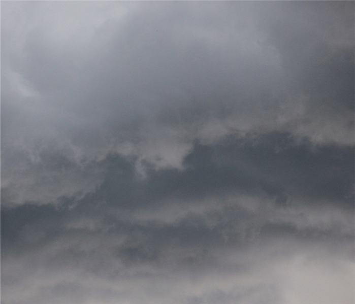
Weather.com tells us that nimbostratus clouds Hang low in the sky, and they appear dark and grey. While the cumulonimbus clouds are shaped like a mountain, with a dark grey base - this type of cloud is a thunderstorm cloud. These clouds also produce hail and tornadoes.
If you see clouds like such that have been described above you can bet your bottom dollar it’s going to rain. What can make it even worse is that sometimes rain finds its way into your home and/or business. No worries, as water damage specialists, we have the experience, expertise, and advanced training that enables us to get your property dried quickly and thoroughly. We use scientific drying principles and provide validation and documentation that your property is dry and the job is complete. Learn about our water damage training and certificates.
Give us a call at 706-866-5646 for your quote. From Fort Oglethorpe to Varnell, Cohutta to Praters Mill, or anywhere in between, we take pride in serving your neighborhood! We are a locally owned and operated franchise with employees dedicated to providing a quality customer experience!


 24/7 Emergency Service
